Old Ince Maps
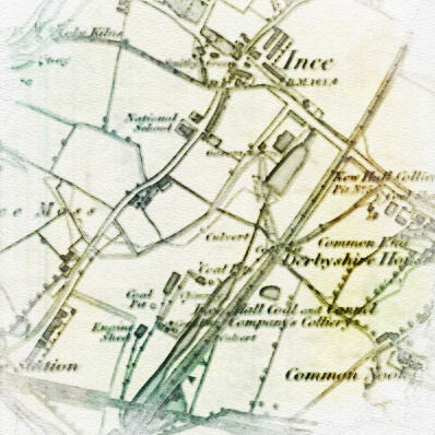
View old maps of Higher & Lower Ince from 1849 to 1948.
Use the icons on the top left to enlarge/zoom.
Courtesy of the National Library for Scotland.
Maps
1849 - Link
1889- Higher Ince -Link
1889 - Lower Ince - Link
1907 - Higher Ince - Link
1907 - Lower Ince - Link
1927 - Higher Ince - Link
1927 - Lower Ince - Link
1938 - Higher Ince - Link
1938 - Lower Ince - Link
1948 - Higher Ince - Link
1948 - Lower Ince - Link
Comments